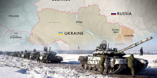
More Ukrainian Maps
Supplementing the maps regarding the political, ethnic, and economic context of the current situation in Ukraine, Talking Points Memo has an interesting post up showing the evolution of the borders in what is presently called Ukraine going back the 15th Century and a time when Russia as we know it today barely existed. There’s not much in the way of explanation or context provided, but they serve as a pretty good illustration of just how fluid borders in that part of the world have been in the past 600 years.


IMO the “historical borders” need to be taken with a grain of salt. The last time Ukraine was independent was in, what, the 12th century? At that time it was just the Kiev and its environs and the Prince of Kiev was a major world leader, more important than the Prince of Moscow, the kernel from which the Russian Empire grew.
Doug wrote:
Exactly. One of the problems is that we tend to “back project” borders and countries — assuming that the concept of “country” as we understand it goes back centuries. In actually, even in the “modern” (aka “western”) world, countries are at best a post WWI creation (if not WWII).
It’s critical, as Dave points out above, to appreciate that while modern names might be associated with historic territories, the two are by no means the same thing.
BTW Dave, kudos for everything you are posting on this topic.
This is an important point. We often make the mistake of trying to get to the “right” borders. But there isn’t any perfect formula for creating countries out of peoples. The Soviets deliberately did their best to mix up the populations in order to break down national identity, but even without them, things shift. Of course, you shouldn’t think that only happens in “that” part of the world. We may laugh about North Colorado or the six states of California, but behind that laughter is the idea that the map is currently the way it’s supposed to be. Let’s be honest, Maine, Quebec, and Louisiana should be a separate country. Florida was more Spanish than American even before it was more Cuban than American. On the flip side, we shouldn’t scoff at the post-WWI lines in the Middle East. No one could have done better. That part of the world has changed a lot in the past 600 years, if by “that part” you include everything in the Scotland – Cambodia – Zaire region.
@Pinky: The caveat, of course, is that we should try to make the lines as fair as we can.
@Pinky:
Florida was more Spanish than American even before it was more Cuban than American
What does “more Cuban than American” mean? Could you rephrase it?